
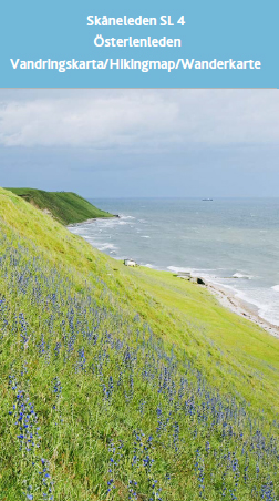
Map SL4 Österlen – Published in 2020

Price


This map is a previous edition, printed in 2020. Therefore, it is offered at a reduced price. The map is still fully functional but does not include the most recent updates.


Article number:
SL4 2020
Standardlager:
In stock

More information

Skåneleden Österlen takes you on a hiking adventure through Österlen in southeastern Skåne. Discover picturesque fishing villages, miles of white sandy beaches, Stenshuvud National Park, babbling streams, and lush beech forests.

Published in 2020. Detailed map at a scale of 1:50,000 covering the Österlen Trail route (Österlen Loop). Total distance: 188 km, divided into 14 stages. Includes brief stage descriptions, map legend, and general information in Swedish and English. Printed on durable, water-resistant material.

Please note: This is a previous edition of the SL4 map, printed in 2020. We are offering it at a reduced price because newer editions are available. If you do not need the latest version, this is an excellent value.